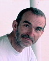
James Leonard Best
Professor
We develop and apply cutting-edge methods for analyzing spatial and space-time data from GPS-enabled devices, satellites, drones, sensor networks, and administrative records. Our approaches are often dynamic, multiscalar, place-based, and context-aware. Application areas include modeling of vegetation change, human mobility, environmental hazards and exposures, climate change impacts, transportation processes, and health and wellbeing.


Natural History Building, Second Floor
1301 W. Green St., MC-150
Urbana, IL 61801
Email: geography@illinois.edu