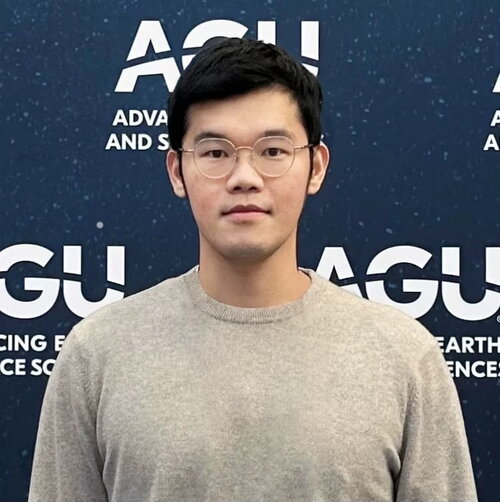
Advisor: Dr. Chunyuan Diao
Research Interests
- Earth Observations
- Geospatial Artificial Intelligence
- Climate Adaptation
- Agriculture and Food Security
Education
- M.S., Data Science, University of Michigan, Ann Arbor (2021)
- M.S., Natural Resources and Environment (Env Informatics), University of Michigan, Ann Arbor (2021)
- B.E., Remote Sensing Science and Technology, China University of Geosciences (Wuhan), China (2019)
Courses Taught
- GGIS 489 - Programming for GIS (Instructor, Spring 2024)
- GGIS 379 - Introduction to Geographic Information Systems (TA, Fall 2022)
Recent Publications
- Liu, Y., Diao, C., Yang, Z., Mei, W., Guo, T. (2025). A novel Normalized Harvest Phenology Index (NHPI) for corn and soybean harvesting date detection using Landsat and Sentinel-2 imagery on Google Earth Engine. Remote Sensing of Environment. https://doi.org/10.1016/j.rse.2025.115016
- Liu, Y., Diao, C., Mei, W., Zhang, C. (2024). CropSight: towards a large-scale operational framework for object-based crop type ground truth retrieval using street view and PlanetScope satellite imagery. ISPRS Journal of Photogrammetry and Remote Sensing. https://doi.org/10.1016/j.isprsjprs.2024.07.025
- Liu, Y., Diao, C., Yang, Z. (2023). CropSow: An integrative remotely sensed crop modeling framework for field-level crop planting date estimation. ISPRS Journal of Photogrammetry and Remote Sensing. https://doi.org/10.1016/j.isprsjprs.2023.06.012
Liu, Y., P. Rao, W. Zhou, A.K. Srivastava, S. Poonia, B. Singh, D. Van Berkel, M. Jain. (2022). Using Sentinel-1, Sentinel-2, and Planet satellite data to map field-level tillage practices in smallholder systems. Plos ONE. https://doi.org/10.1371/journal.pone.0277425
