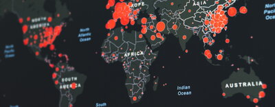

Everything happens somewhere.
Satellites, drones, and mobile devices provide unprecedented detail about the Earth’s environments and people. Students in computer science + geography and geographic information science (CS+GGIS) learn about cutting-edge geospatial data and tools for analyzing environmental and social issues while developing advanced programming and computing skills.
Illinois is a national leader in both geographic information science and computer science, and it pioneered the development of CyberGIS, a field that links GIS with high-performance computing and cyberinfrastructure. CS+GGIS provides students with databases and analytic techniques to solve spatial problems related to public health, transportation, national security, environmental degradation, natural hazards, crime, and more.
Students can take advantage of our department's Roepke Scholarship program to combine CS+GGIS training with research, field work, and study abroad to link geospatial data to real-world experiences.
Geospatial analysis is one of America's fastest-growing job sectors and CS+GGIS graduates will be uniquely prepared for careers in this field. Our alumni work at major companies like Google, State Farm, and United Airlines, and a wide range of nonprofit and government agencies.
For more information about CS+GGIS, please contact ggis-advisor@illinois.edu and visit these pages: