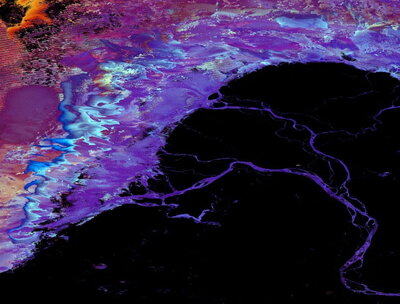

The Geographic Information Science (GIS) concentration involves the creation and analysis of unique geographic information to examine economic, environmental, physical, and social phenomena. GIS students gather in-depth knowledge of GIS principles, and gain expertise with contemporary software packages to prepare for work in the GIS industry.
There is a growing demand for professionals with knowledge of Earth’s systems, and how geographic information systems are used to enhance business, protect the environment, and manage the massive amounts of spatial data that are becoming widely available. The University of Illinois is also home to the National Center for Supercomputing Applications (NCSA), a powerful computer system used to simulate and analyze large sets of geographic, and other scientific data.
Degree Requirements for the GIS Concentration
Selected Courses
- GGIS 224 - Environmental Data Science
- GGIS 379 - Introduction to Geographic Information Systems
- GGIS 380 - GIS II: Spatial Problem Solving
- GISG 473 - Digital Cartography and Map Design
Career Opportunities
- Digital Cartographer
- Geospatial Data Scientist
- Logistics Analyst
The Department of Geography and Geographic Information Science has two computer labs available for students: a 30-computer classroom for formal instruction (1020 NHB), and a second lab with additional software-equipped computers for students to complete class assignments (1088 NHB). Some examples of software used by GIS students are ArcGIS, Erdas Imagine, and ENVI.