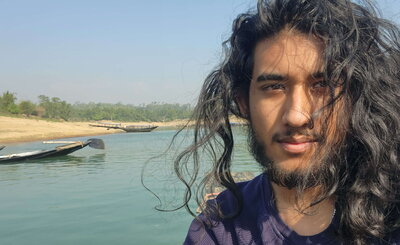
The Roepke Scholarship supported my travel to northeastern Bangladesh with Professor Jim Best and PhD student Saadi Chyon, where we investigated the nature and extent of sand mining. My role during the project was to use remote sensing to temporally and geographically locate key areas of interest and then utilize Google Earth Pro and Planetscope imagery to download the appropriate data for each region.
Additionally, Saadi produced an automated system through Google Earth Engine to identify and classify vegetation, sand, and water in order to quantify the extent and temporal growth of sand mining. I was tasked with producing shapefiles following rivers with major sand mining activity, which would assist in geographically separating sand used for construction from sand used for agriculture.
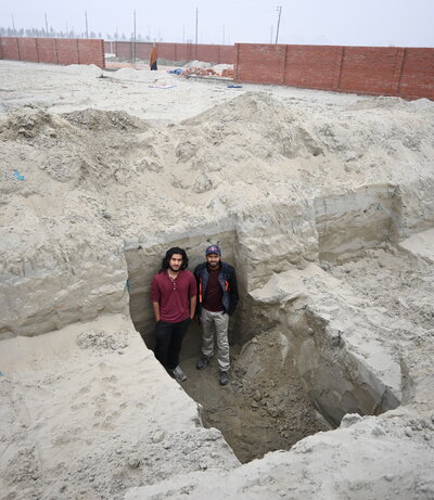
Photo: Dr. Jim Best
After our initial investigations with remote sensing, we traveled together to Bangladesh and I was able to produce a rough estimate of sand and gravel consumption using a combination of on-the-ground interviews and available literature. These produced numbers which hinted at the true scale of the operations that we were viewing. Connecting the information from interviews to the literature really made it feel like I was pursuing a holistic view. The interviews helped me understand the human geographical aspect, while the literature reinforced the quantitative side of things.
The experience inspired my senior thesis, which I wrote the following semester. Forming a thesis through literature investigation was very fulfilling and I definitely plan to move forward with this type of work. The human geographical aspect was very insightful and something that I aim to include in future endeavors.