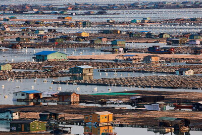
CHAMPAIGN, Ill. — The word “atlas,” may conjure images of giant books chock full of maps and a dizzying array of facts and figures. However, the new book “The World Atlas of Rivers, Estuaries, and Deltas” tells the story of these waterways long before human intervention and how they continue to evolve in the presence of — and often at odds with — human civilization. The new atlas is a highly visual guide to the most up-to-date research on the world's river systems, with an emphasis on the mutual relationship between people and these vital landscapes.
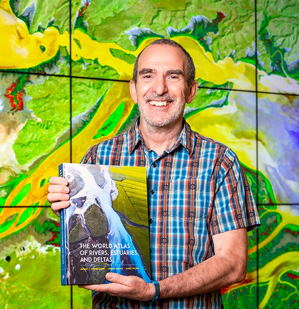
"The overall goal of the book is to drive home the importance of river systems on human civilization and ecosystems, and how these critical environments are at risk, but that it is not too late to make changes," said co-author Jim Best, professor of geography & GIS and earth science & environmental change. “We hope this work will reach a much broader audience than we typically engage with as researchers.”
Best and co-authors Stephen Darby, Luciana Esteves and Carol Wilson take the reader on an adventure far beyond anything facts and figures can offer. They dive headfirst into the cultural, economic and climate/environmental change aspects of these river basins while providing the latest information from conventional means of study of the physical, chemical and biological elements of these environments — all done with an emphasis on storytelling through captivating imagery, infographics, maps and plain language text.