A research team led by DePaul University geography faculty, in collaboration with the UIUC Department of Geography & GIS, was recently awarded a $250,000 NASA grant to collaborate with a Chicago community on an expanded online dashboard that uses satellite data to bring disparities in tree canopy coverage, plant diversity and air quality into focus. The goal is to give community leaders accurate and accessible data that they can use in their fight for environmental justice.
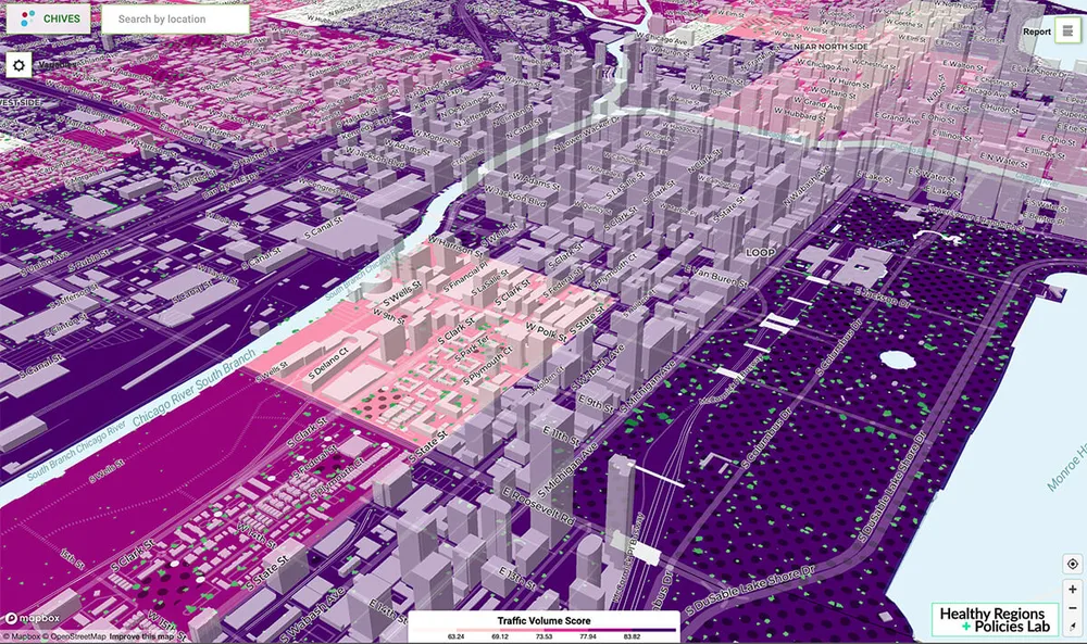
This project will build on a web-based data dashboard called ChiVes, a multi-institution project released in late 2021. A data collaborative and community mapping application, ChiVes brings data on Chicago’s environment together at the neighborhood level.
ChiVes is a partnership of researchers, community organizations and civic groups led by Marynia Kolak, assistant professor of geography and GIScience at UIUC. Kolak directs the Healthy Regions & Policies Lab, a group that integrates innovative GIScience, public health, and statistical approaches to explore, understand, and promote healthy regions and policies. The NASA grant will fund an extension of the ChiVes project where community leaders will work with the research team to develop an interactive index for guiding environmental justice applications.
Called “Designing for Just Green Enough: A Data Integration Tool for Informing Community Green Space Planning,” the online data dashboard project extension builds on an 18-year partnership DePaul geography researchers have with community leaders, including 25th Ward Alderman Byron Sigcho-Lopez, and residents in Chicago’s Pilsen neighborhood. It is a step towards finding ways to improve equity in greenspace access without displacing residents the increased greenspace was intended to benefit, says Michelle Stuhlmacher, an assistant professor of geography and lead researcher on the project.
“In Pilsen and around the United States, EJ communities are confronted with the paradox of how to improve environmental conditions in their community without displacing the very people the improvements are intended to benefit. In addition to collating and standardizing variables of interest to the community, we will add functionality that allows users to combine and weigh indicators to create customized indices that reflect their values. Our goal is that community members in Pilsen, and similar EJ communities, have the information they need to make data-driven decisions about green space and greening efforts corresponding to their values,” said Stuhlmacher.