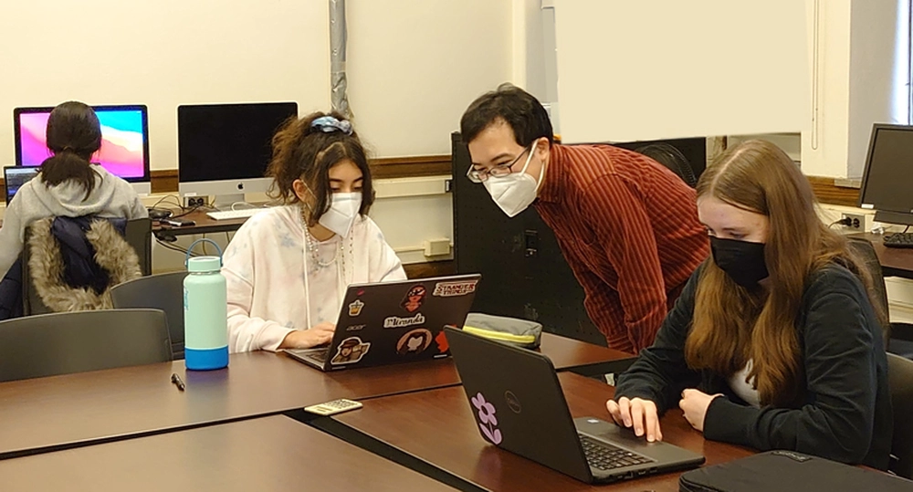
PhD candidate Wataru Morioka (Advisor: Mei-Po Kwan) taught a class on GIS and mapping as part of University High School's annual Agora Days, where teachers and community members are invited to share their knowledge and present topics of general interest.
Eight students joined Wataru's 4-day introductory course that included a short lecture and a lab. They learned about the longitude problem and how GPS works during the lecture, and got to create web maps describing brief histories of Champaign-Urbana with the cutting-edge opensource webGIS platform Re:Earth.
"The class was very interesting. We learned a lot about local landmarks, and we were able to research their history and give presentations to our classmates. I liked learning how to use Re:Earth and creating the web map. Overall, it was a fun class!" said Uni High student Ruby Mitchell.
Uni High student projects completed during Agora Days have been posted to Re:Earth for a limited time at jcciibeagf.reearth.io/