by Kimberly Belser, College of LAS News
Two Geography & GIS professors have received a $500,000 grant to bring more “big data” to the complicated process of crop yield forecasting.
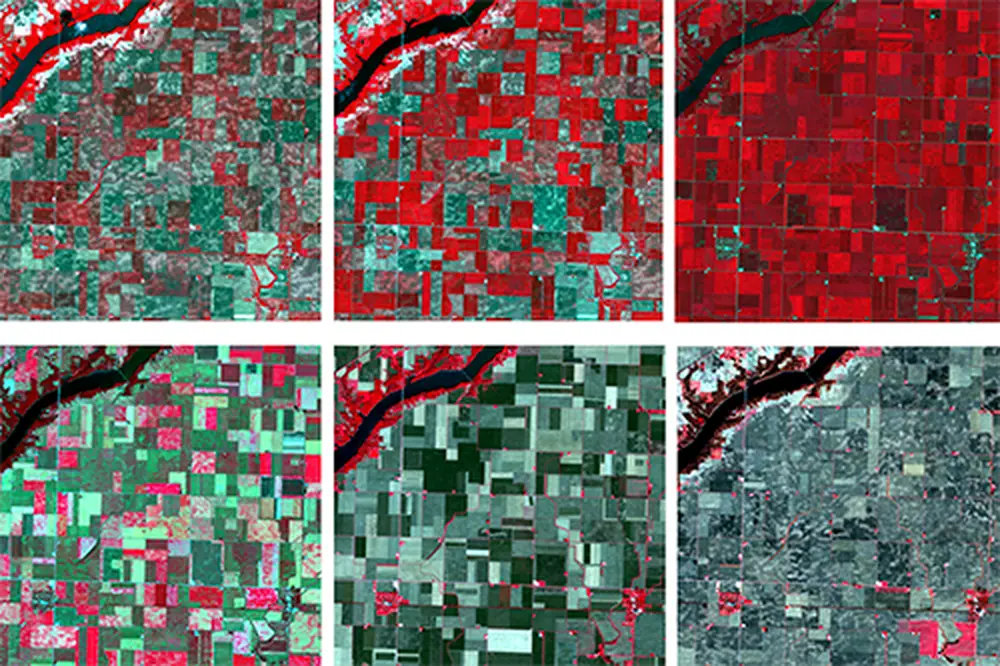
The grant from the National Science Foundation and the U.S. Department of Agriculture’s National Institute of Food and Agriculture will assist research pertaining to intelligent field-level crop type mapping, crop phenology and condition retrieval, crop yield estimation, and forecasting at varying spatial and temporal scales, according to Chunyuan Diao and Shaowen Wang.
The professors are designing “cutting-edge” cyber geographic information system (cyberGIS) models to generate satellite imagery at large scales with both high spatial and temporal resolutions. The fused imagery, Diao said, will enhance monitoring of crop growth and conditions throughout the growing season for more accurate crop yield forecasting.
"This grant contributes to our research by synergistically advancing the frontiers of environmental remote sensing, cyberGIS, and geospatial artificial intelligence and data science through solving data-intensive and large-scale crop yield prediction problems,” said Wang, head of the department.
Diao said the timely yield forecasting can provide new insights to governments, stakeholders, and farmers through facilitating the establishment of early warning systems of potential food shortages, and will help combat food insecurity in the face of climate change and growing population.