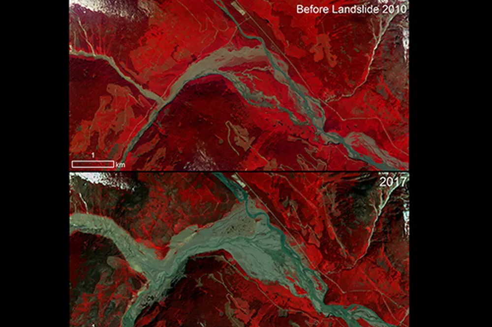
Satellite imagery of Earth has been available for years, but it keeps getting better and better. That’s why several academic units across the University of Illinois Urbana Champaign and the University Library have teamed up to acquire high-resolution satellite data from a private aerospace company, as researchers seek to grow their understanding and teaching of what’s happening on our planet’s surface.
Jim Best, professor of geography and geographic information science, and the Jack and Richard Threet Professor of Sedimentary Geology and said that free training workshops have begun that can be attended by all U of I personnel on how to use the data from Planet Labs, Inc., which relies upon a fleet of “dove” satellites, each the size of a shoebox, to generate high-resolution, continuously updated images of Earth.
Much of the imagery that’s accessible through the new contract with Planet Labs has a ground resolution of about 3 meters, Best said, meaning that researchers can resolve features of this size. Some of the imagery is even better, with a ground resolution of 0.5 meters. The images are recorded often enough so that daily changes can be observed, Best added.