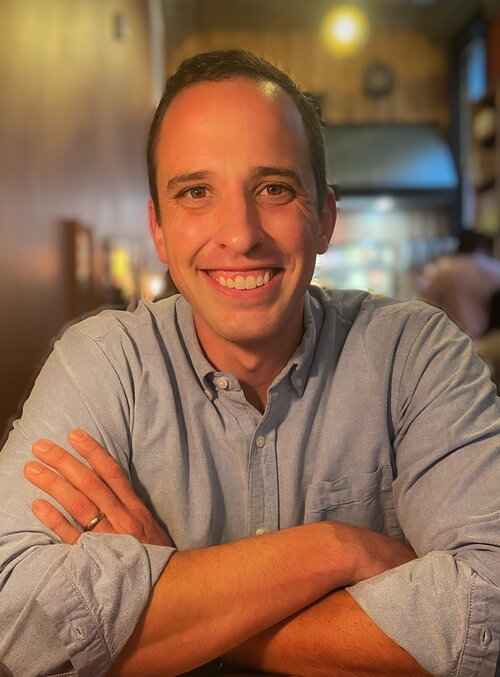
Biography
I have worked for the U.S. Army Corps of Engineers (USACE), Construction Engineering Research Laboratory (CERL) as a research geographer since 2010. My work integrates GIScience and spatial analysis to support DoD planning and installation resilience. I lead projects focused on site selection, infrastructure risk, and contextual adaptation, and I co-develop software for remote assessment and mission planning. Recent efforts focus on scalable methods that fuse open data, remote sensing, and network analysis to identify vulnerabilities and prioritize investments in diverse operational environments.
Research Interests
Urban Geography
Geospatial Science
Urban Morphology
Urban Morphometrics
Historical Geography
Cities as Systems
Research Description
I focus on the ends and means behind the spatial organization and interactions of people in space and in relation to their environment. My focus is always on the implications for human use (or disuse) of the physical systems rather than the systems themselves.
Within urban geography, I am primarily interested in the sub-discipline of urban morphology, which is the study of the shape, form, and structure of urban spaces. This includes the principal physical structures of urban areas (streets, public squares, street blocks, land plots, and buildings) along with the agents and processes that drive their evolution over time. More specifically, I include work in the more traditional historico-geographical approach (primarily qualitative - akin to historical geography) and the spatial analysis/urban morphometrics approach (a primarily quantitative lens on the spatial patterns, structures, and relationships in a city).
With the form and function of cities as my primary analytical lens, I seek to uncover, define, interrogate, and/or "operationalize" physical form, embodied function, "invisible" drivers, and causal mechanisms. For instance, how do the material infrastructure, population and processes connect to the immaterial? How can we better understand one by understanding the other? I am especially interested in the spatial aggregation of phenomena (especially neighborhoods), their boundaries (hinterlands, neighborhoods, "estuaries," confluence zones, liminal zones), and the way they are connected both materially and through immaterial processes.
Education
M.U.P. 2012, University of Illinois Urbana-Champaign, Department of Urban and Regional Planning
B.A. 2009, Augustana College, Departments of Geography and History
Highlighted Publications
McMillan-Wilhoit, Juliana, Elisabeth Bastian, Matthew Hiett, and Noah Garfinkle. "A four-part framework for geodesign software creation and research." Transactions in GIS. 2018.
Ehlschlaeger, Charles R., David A. Browne, Natalie R. Myers, Jeffrey A. Burkhalter, Carey Baxter, Yizhao Gao, Dandong Yin, and Matthew D. Hiett. "From Data to Decision with Analytic Frameworks: Presenting Data Errors and Uncertainties for Operational Planning," Military Intelligence Professional Bulletin, July-September, 2016. p. 44-47.
Ehlschlaeger, Charles R.; Gao, Yizhao; Westervelt, James D.; Lozar, Robert C.; Drigo, Marina V.; Burkhalter, Jeffrey A.; Baxter, Carey L.; Hiett, Matthew D.; Myers, Natalie R.; and Hartman, Ellen R. (2016) "Mapping neighborhood scale survey responses with uncertainty metrics," Journal of Spatial Information Science: Issue 13, 103-130.
Lozar, Robert C., Matthew D. Hiett, James D. Westervelt, (Igor Linkov and Todd S. Bridges, eds.) "Climate Change Impacts and Adaptation on CONUS Military Installations." In Climate: Global Change and Local Adaptation. Dordrecht: Springer, 2011.