This program explores how digital geographic information is created, analyzed, and used to solve economic, ecological, physical, and social problems at a variety of spatial scales. Students can specialize in:
(1) GIS methods and theory in areas such as: geographic information systems, dynamic modeling, remote sensing, inter-regional modeling and spatial analysis; or
(2) GIS applications in health, urban, physical, or environmental geography.
Program Emphases
GIScience methods and development
- Space-time integration in GIScience
- Satellite remote sensing
- CyberGIS
- Parallel and distributed computing
- Multi-scale and distributed GIS
Spatial Analysis
- Geospatial big data analytics
- Collection and analysis of GPS data
- Spatiotemporal modeling and analysis
- Agent-based modeling
- Geostatistical modeling and landscape analysis
- Satial accessibility modeling
Environmental applications
- Vegetation and climate change
- Dynamics of watersheds and fluvial systems
- Land cover disturbance and change
- Health and health care
- Urban travel and mobility
- GIS and society
GIS Facilities
We have state-of-the-art laboratories for teaching and research in GIS. The teaching laboratory consists of 30- networked workstations equipped with a wide variety of software for GIS, image processing, air photo interpretation, and spatial/statistical analysis.
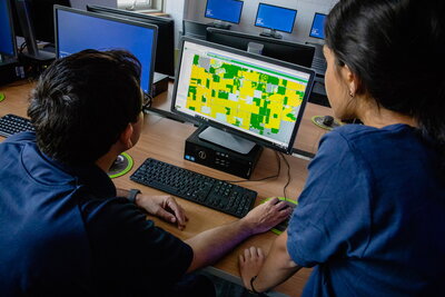
The CyberGIS Center for Advanced Digital and Spatial Studies, hosted by the department, is internationally-renowned for GIS research and the development of spatial problem-solving tools. Its mission is to empower advanced digital and spatial studies through innovation of CyberGIS technologies and applications. Founded by Dr. Shaowen Wang, and housed in GGIS, the center addresses diverse GIS challenges including: computationally intensive spatial analysis and modelling, cyberGIS, cyberinfrastructure-based geospatial problem solving environments, computing and data-intensive applications and sciences, and high performance and collaborative GIS.
Prerequisites
Applicants to the Geography program with a specialization in GIScience are expected to have completed: 1) a course in GIS or cartography; 2) an introductory statistics course.