The annual salute to geographic information science and technologies highlighted the broad and transformative impacts from the past year. This year celebrated the diversity of GIS applications and the capability of geospatial technologies to bring synergies in research and education across campus. The focus is on the contribution of our students to geospatial data science, geovisualization, and geospatial technologies.
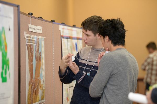
The event saw many poster presentations by Illinois students as well as a keynote address by Dr. Kumar Navulur, Director of Next Generation Products at DigitalGlobe, a Maxar company. A distinguished panel discussed career and internship opportunities in GIS and Professor Bob Rauber presented awards. The event was concluded with workshops on Creating Story Maps and Getting started with Geospatial Data Science.
Check out more photos and join the discussion on the GIS day facebook page.