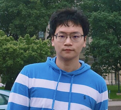
Biography
I am a Ph.D. candidate in the Department of Geography and GIS at the University of Illinois at Urbana-Champaign, advised by Dr. Shaowen Wang. I earned my M.S. in Geography from the University of Illinois Urbana-Champaign in 2021 and my B.E. in Computer Engineering at the University of Hong Kong in 2018.
My research aims to advance cyberGIS and geospatial data science for solving complex geospatial problems and understanding multi-scale urban dynamics. Specifically, my research work focuses on 1) geospatial data science for understanding urban dynamics; 2) scalable spatial algorithms for solving complex geospatial problems; and 3) democratization of cyberGIS for data-intensive geographic research.
Research Interests
- Geospatial Data Science
- Computational Science
- Urban Informatics
- CyberGIS
- GIScience
- LiDAR Remote Sensing
Education
- MS in Geography, University of Illinois Urbana-Champaign, 2021
- BE in Computer Engineering, University of Hong Kong, 2018
Courses Taught
- GEOG105 - The Digital Earth (Instructor, Summer, 2022)
- GEOG407 - Foundations of CyberGIS & Geospatial Data Science (TA, Spring, 2022)
- GEOG507 - High-performance Geospatial Computing (Instructor, Fall, 2021)
External Links
Highlighted Publications
- Lyu, F., Ma, X., Song, Y., Zhu, E., Wang, S. (2023). Large‐scale Google Street View Images for Urban Change Detection. I‐GUIDE Forum 2023. DOI: 10.5703/1288284317674
- Lyu, F., Wang, S., Han, S., Wang, S. (2022). An Integrated CyberGIS and Machine Learning Framework for Fine-Scale Prediction of Urban Heat Island Using Satellite Remote Sensing and Urban Sensor Network Data. Urban Info 1, 6. https://doi.org/10.1007/s44212-022-00002-4
- Lyu, F., Xu, Z., Ma, X., Wang, S., Li, Z., Wang, S. (2021). A vector-based method for drainage network analysis based on LiDAR data. Computers and Geosciences, 2021, 104892, ISSN 0098-3004
- Lyu, F., Yang, Z., Xiao, Z., Diao, C., Park, J., Wang, S. (2022). CyberGIS for Scalable Remote Sensing Data Fusion. In: Proceedings of Practice and Experience in Advanced Research Computing (PEARC22), Association for Computing Machinery, New York, NY, USA, Article 35, 1–4
- Lyu, F., Kang, JY., Wang, S., Han, SY., Li Z., and Wang S. (2021). Multi-scale CyberGIS Analytics for Detecting Spatiotemporal Patterns of COVID-19. In: Shaw SL., Sui D. (eds) Mapping COVID-19 in Space and Time. Human Dynamics in Smart Cities. Springer, Cham
- Lyu, F., Yin, D., Padmanabhan, A., Choi, Y., Goodall, J., Castronova, A, Tarboton, D., Wang, S. (2019). Reproducible Hydrological Modeling with CyberGIS-Jupyter: A Case Study on SUMMA. In: Proceedings of Practice and Experience in Advanced Research Computing (PEARC19), Chicago, Illinois, USA, July 28 – August 1, 2019